Venice is a surprisingly green city: its historic center has over five hundred gardens, including public parks and historic gardens belonging to ancient palaces and convents.
The public gardens area is about 120 thousand square meters, divided into six gardens across the city: the Royal Gardens, the Napoleonic Gardens, (partly occupied by the Biennale Gardens and the Greenhouse, the Sant’Elena Pinewood, the Papadopoli Gardens, the Savorgnan Gardens and the Villa Groggia Park.
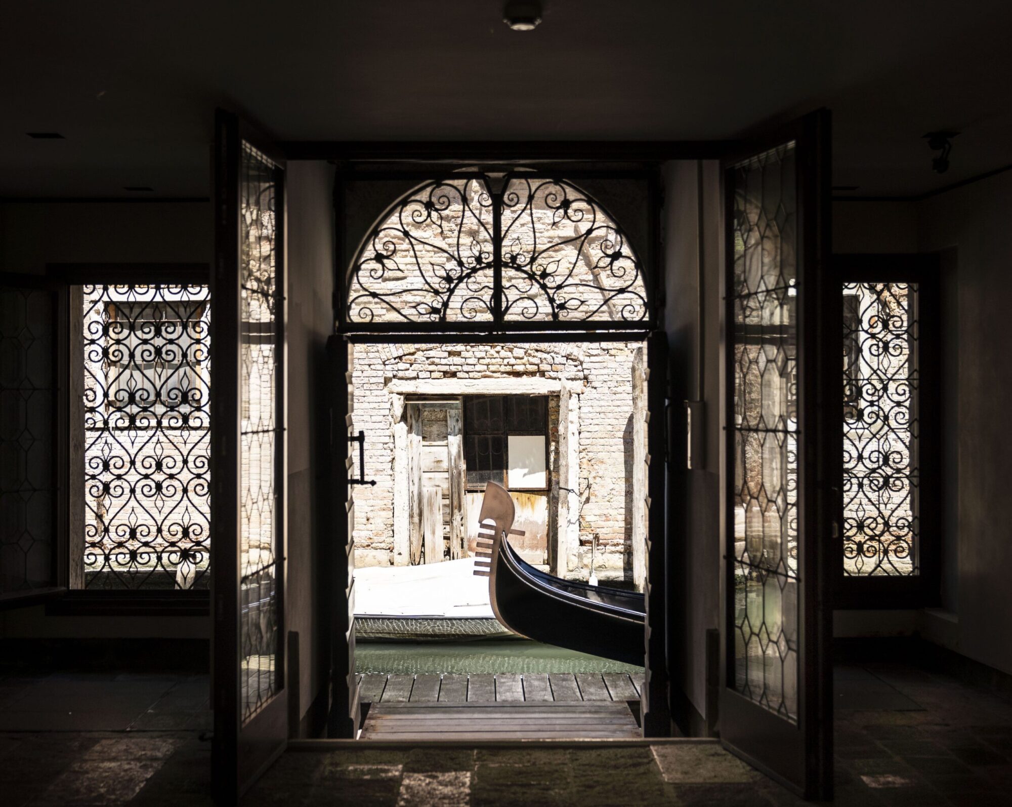
Some of these parks offer benches you can sit on and eat your lunch, as well as drinking fountains and public toilets.
Even the center of Mestre, in the Venice mainland, has green spots you can explore on foot or by bicycle, such as Villa Querini Park and Villa Franchin Park.
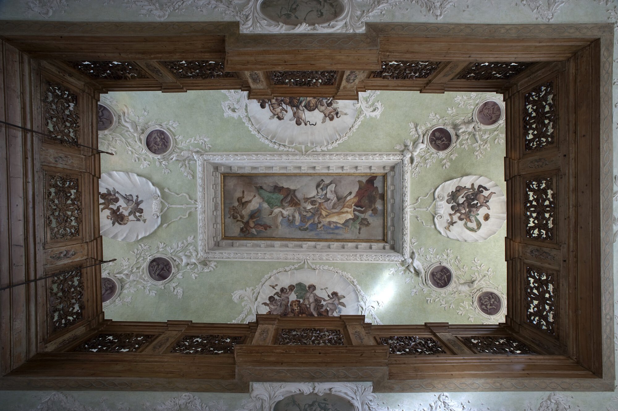
Do not miss: the Borges’ Labyrinth on the Island of San Giorgio Maggiore and Palazzetto Bru Zane. Borges’ Labyrinth guided tours are available every day (except on Wednesday). The visit, lasting 45 minutes, allows you to walk through the labyrinth, accompanied by an audio guide with the original soundtrack, composed by Antonio Fresa and performed with the Orchestra of the Teatro La Fenice.
The Palazzetto Bru Zane is a small jewel of late seventeenth-century Venetian architecture. Today it houses the Centre de musique romantique française, which studies and promotes the French Romantic repertoire. A secluded garden, populated with cherubs, among white roses and hydrangeas, welcomes the visitors. Every Thursday afternoon you can take a free guided tour at the Palazzetto Bru Zane (available in Italian, English and French).
Note: The Palazzetto Bru Zane will be closed from August 2-15. There will be no guided tours and the ticket office.
If you need to rest, here are the places you can stop by.
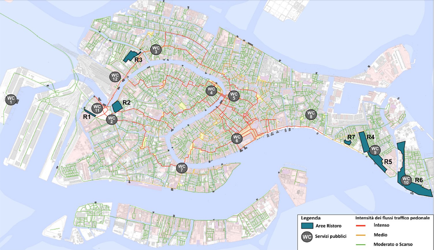
Map Label
Santa Croce
R1 Rio Terà Sant’Andrea
R2 Giardino Papadopoli
Cannaregio
R3 Parco Savorgnan
Castello
R4 Giardini di Viale Garibaldi
R5 Giardini Napoleonici o della Partigiana
R6 Giardini di Sant’Elena
R7 Giardini della Marinaressa
Public Restrooms
WC 1 Tronchetto
WC 2 Piazzale Roma
WC 3 Campo San Leonardo
WC 4 Campo Rialto Novo
WC 5 San Bartolomeo
WC 6 San Marco – Ascensione
WC 7 Accademia
WC 8 Campo della Bragora
WC 9 Giardini Napoleonici
WC 10 Giardini di Sat’Elena
WC 11 Garage Comunale P. le Roma
WC 12 Stazione FF. SS.
R1 Santa Croce District – Rio Terà Sant’Andrea (Piazzale Roma)
Shady area near the Piazzale Roma terminal, equipped with benches and rubbish bins, and situated under the People Mover, between the Council “Comunale” Garage and the San Marco Garage. At approx. 100 meters away there is Veritas no. 2 (Piazzale Roma) rest-room service and, in Campazzo Tre Pointi, a drinkable water fountain.

Nearby Terminals
- People Mover
- Piazzale Roma – public transport (road) terminal
- Santa Lucia Railway Station
Parking and rest area
Public Transport – Road and Navigation
Bus and tram lines going to the mainland leave from the Piazzale Roma terminal
ACTV waterbus stops can be reached on foot in a few minutes. The main navigation lines serving the public leave from these jetties and go in all directions, and to all destinations, either via Canal Grande, or along the Canal of the Giudecca, and the circular lines
Restrooms – Description of services offered (no. 2 at Calle Cossetti 456/a, near Piazzale Roma)
- Opening times 8:00 a.m. – 9:00 p.m.
- Women’s toilets
- Men’s toilets
- Toilets for the disabled
- Nursery (changing space for babies)
Tourist Information
Tourist welcome and information point at the Council Parking Garage ‘Autorimessa Comunale’ in Piazzale Roma
Hours: 7:30 a.m. to 8:30 p.m.
Distances
From St. Mark’s St. Mark’s to Piazzale Roma
By waterbus: San Zaccaria – Piazzale Roma Line No. 5.2: 22 min.; Line No. 4.2: 26 min.; Line No. 1: 49 min.; Line No. 2: 38 min.;
Walking: about 45 min.
From Rialto to Piazzale Roma
By waterbus: Rialto – Piazzale Roma Line No. 2: 15 min.; Line No. 1: 22 min.;
Walking: about 30 min.
From Ferrovia to Piazzale Roma
By waterbus: Ferrovia – Piazzale Roma Line No. 1: 3 min.; Line No. 2: 4 min.
Walking: about 5 min.
R2 Santa Croce District – Giardino Papadopoli
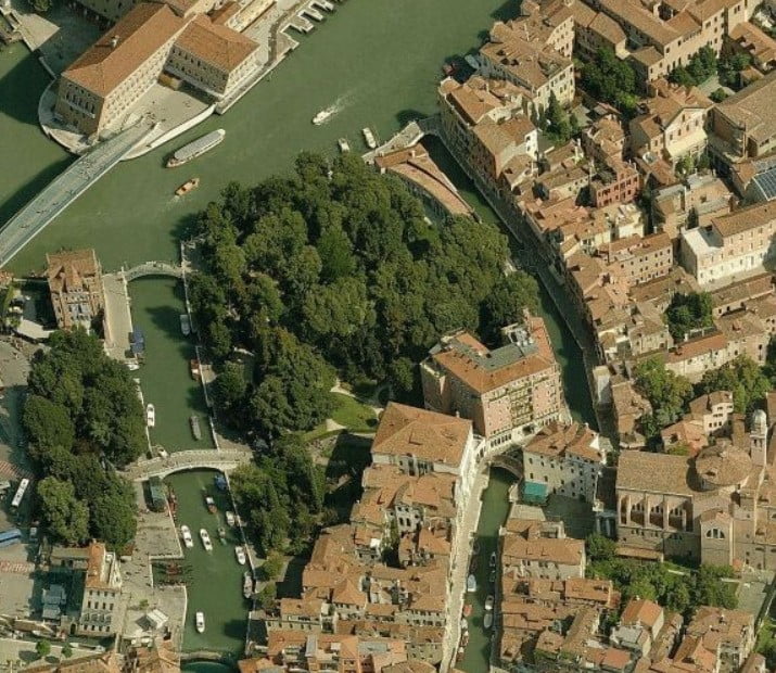
Strategically situated between Piazzale Roma and the Santa Lucia Railway Station, the park occupies a fenced area of 7,500 sq.m. It is equipped with benches, rubbish bins and a children’s playground, and offers the possibility of a peaceful refreshment break near the two terminal with the Veritas no. 2 (Piazzale Roma) rest-room service and a drinkable water fountain at Campazzo Tre Ponti only a few meters away.
Nearby Terminals
People Mover
Piazzale Roma – public transport (road) terminal
Santa Lucia Railway Station
Parking and rest area
Public Transport – Road and Navigation
Bus and tram lines going to the mainland leave from the Piazzale Roma terminal
ACTV waterbus stops can be reached on foot in a few minutes. The main navigation lines serving the public leave from these jetties and go in all directions, and to all destinations, either via Canal Grande, or along the Canal of the Giudecca, and the circular lines
Restrooms (no. 2 at Calle Cossetti 456/a, near Piazzale Roma)
Hours: 8 am – 9 pm
Women’s and Men’s, toilets for disabled, nursery (changing space for babies)
Tourist information
Tourist welcome and information at the Council Parking Garage in Piazzale Roma
Hours: 7:30 a.m. – 8:30 p.m.
Distances
From St. Mark’s to Piazzale Roma
By waterbus: San Zaccaria – Piazzale Roma Line No. 5.2: 22 min.; Line No. 4.2: 26 min.; Line No. 1: 49 min.; Line No. 2: 38 min.;
Walking: about 45 min.
From Rialto to Piazzale Roma
By waterbus: Rialto – Piazzale Roma Line No. 2: 15 min.; Line No. 1: 22 min.;
Walking: about 30 min.
From St. Mark’s to Ferrovia
By waterbus: San Zaccaria – Ferrovia Line No. 5.2: 28 min.; Line No. 1: 46 min.; Line No. 2: 34 min.; Line No. 4.2: 32 min.;
Walking: about 35 min.
From Rialto to Ferrovia
By waterbus: Rialto – Ferrovia Line No. 1: 19 min.; Line No. 2: 11 min.;
Walking: about 20 min
From Ferrovia to Piazzale Roma
By waterbus: Ferrovia – Piazzale Roma Line No. 1: 3 min.; Line No. 2: 4 min.
Walking: about 5 min
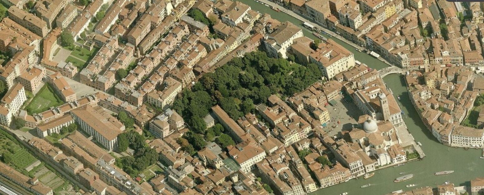
R3 Cannaregio District – Parco Savorgnan
The park is a shaded 9,500 sq.m area surrounded by historic buildings that make up the architectural background. There are tree-lined avenues, benches, rubbish bins, two drinkable water fountains (one of which can be found in the alley access area), and a children’s playground. Among the vegetation can be found many valuable historical architectural elements.
The park is a few hundred metres from the Santa Lucia Railway station, along the Lista di Spagna street, near the monumental Campo of San Geremia; Veritas no. 3 Public rest-rooms are approx. 150 metres away at San Leonardo.
Public Transport – Navigation
Stop: Ferrovia
Navigation Lines: 1, 2, 3, 4.1, 4.2, 5.1, 5.2, N
Stop: Guglie
Navigation Lines: 4.1, 4.2, 5.1, 5.2
Alilaguna Arancio (orange) line
Stop: Crea
Navigation Lines: 4.1, 4.2
Stop: Tre archi
Navigation Lines: 5.1, 5.2, 22
Restrooms (San Leonardo restrooms no. 3, Cannaregio 1586/a)
- Hours: 7:30 am – 7:00 pm
- Women’s, Men’s, and toilets for the disabled
Tourist Information
Tourist welcome and information point at “F18” Santa Lucia Railway Station
Hours: 7:00 am – 9:00 pm
Distances
From Piazzale Roma to Ferrovia
By waterbus: Piazzale Roma – Ferrovia Line No. 1: 3 min. – Line No. 2: 4 min.
Walking: about 5 min.
From Campo del Ghetto
Walking: about 10 min.
R4 Castello District – Public Gardens in Viale Garibaldi
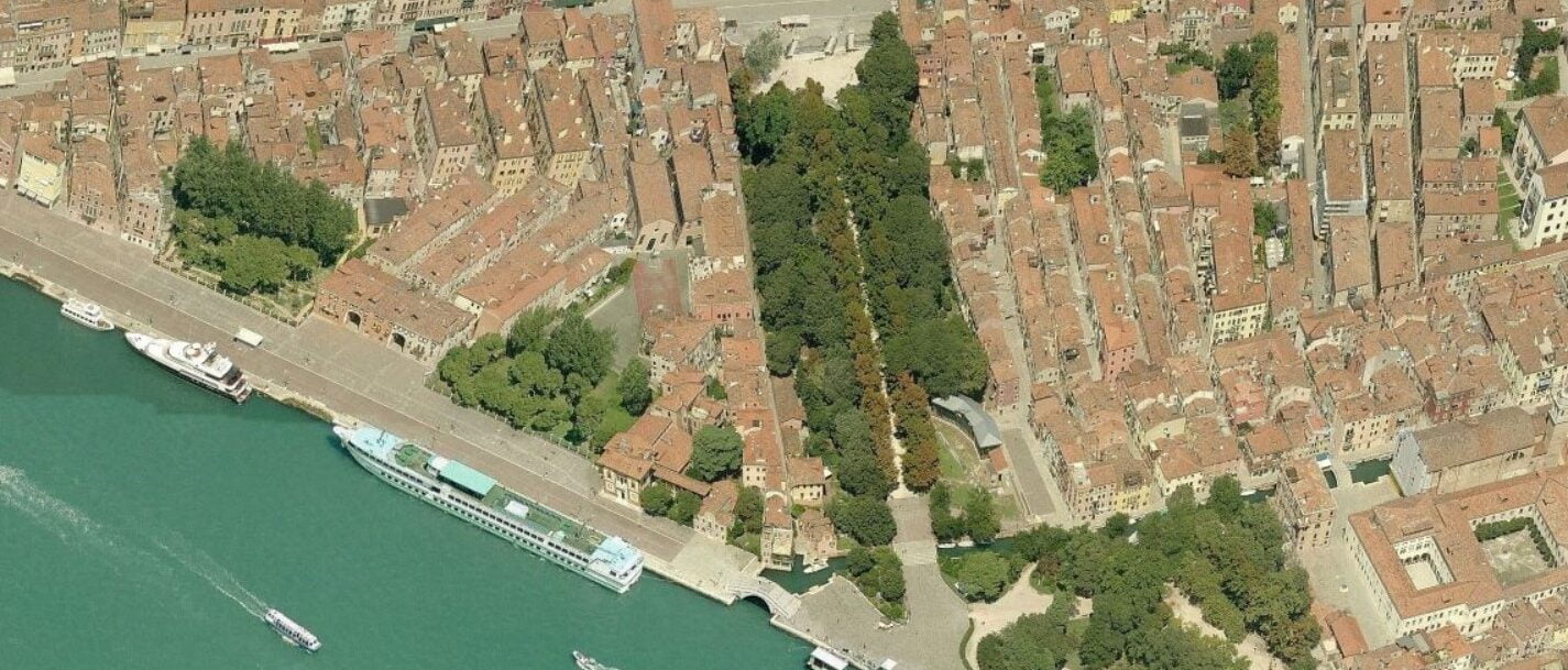
This green area, which can be easily reached by using the ACTV water transport, is made up of a big tree-lined avenue, perfect for refreshment stops during the hot summer months.
The avenue is 180 meters long and connects Via Garibaldi to the Napoleonici (Partigiana) Gardens that lead to the Biennale Gardens, area for the International Exhibition of Art and Architecture.
In the northern sector of Viale Garibaldi, you can find the monumental fountain with the same name; along the road and in an area where the road widens, there is one of the two drinkable water fountains, numerous benches, rubbish bins, and Veritas no. 9 rest-rooms at approx. 50 meters.
Restrooms – (Public Restrooms no. 9 at Napoleonic Gardens, Castello)
- Hours: 10 am – 7pm
- Women’s, Men’s, and toilets for the disabled
Tourist Information
Tourist welcome and information point in front of the Correr Museum entrance
Hours: 9am – 7pm
Distances
From St. Mark’s to Giardini Viale Garibaldi
By waterbus: San Zaccaria – Giardini Line No. 1: 8 min.; Line No. 2: 7 min.; Line No. 4.1: 8 min.; Line No. 5.1: 7 min.
Walking: about 15 min.
From Rialto
By waterbus: Line No. 1: 35 min.; Line No. 2: 29 min.
Walking: about 35 min.
R5 Castello District – Napoleonic (Partigiana) Gardens
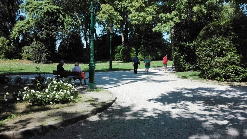
The park dates back to 1807, when Napoleon Bonaparte declared that the city of Venice needed a green area for public use. The planning was entrusted to Giannantonio Selva. In recent times, the garden were divided into two parts. The first part (approx. 42,000 sq. meters) was given to the Biennale Organization which then set up exhibition spaces for the art exposition (30 pavilions for participating nations); the second part (approx. 18,000 sq. meters) was destined to be public gardens. Easily reached by the ACTV lines (“Giardini” stop) the area is noted for its wide shady avenues and is equipped with benches, rubbish bins, a drinkable water fountain, a children’s playground, and Veritas n. 9 public restrooms.
Restrooms (Public Restrooms n.9 at Napoleonic Gardens, Castello)
- Hours: 10am – 7 pm
- Women’s, Men’s, and toilets for the disabled
Tourist Information
Tourist welcome and information point in front of the Correr Museum entrance
Hours: 9am – 7pm
Distances
From St. Mark’s
By waterbus: San Zaccaria – Giardini Line No. 1: 8 min.; Line No. 2: 7 min.; Line No. 4.1: 8 min.; Line No. 5.1: 7 min.
Walking: about 15 min.
From Rialto
By waterbus: Line No. 1: 35 min.; Line No. 2: 29 min.
Walking: about 35 min
R6 Castello District – Sant’Elena Gardens or “Rimembranze” Park
Near the Biennale Gardens, on the island of Sant’Elena, you can find the shady “Rimembranze” Park with its tree-lined avenues, benches, rubbish bins, and children’s playground. There are public rest-rooms, and two drinkable water fountains – one near the rest-rooms and the other in the north-west part of the park along the route leading to Viale Garibaldi. Easily reached with ACTV lines (“Sant’Elena” stop) this large park is great for strolling along the water’s edge that looks out, onto St. Mark’s Basin and the Island of Lido.

Restrooms (Pineta Sant’Elena restrooms, managed by a non-profit organization)
Women’s, Men’s and toilets for the disabled as well as nursery/changing facilities
Tourist Information
Tourist welcome and information point in front of the Correr Museum entrance
Hours: 9am – 7pm
Distances
From St. Mark’s to Sant’Elena gardens
By waterbus: San Zaccaria – Sant’Elena Line No. 1: 11 min.; Line No. 4.1: 12 min.; Line No. 5.1: 11 min.
Walking: about 25 min
R7 Castello District – Marinaressa Garden
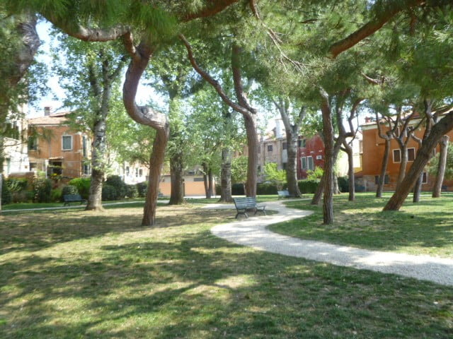
Shady 2,200 sq.m fenced area looking onto the Riva dei Sette Martiri. It has four entrances connecting Via Garibaldi to Riva dei Sette Martiri. There are benches, rubbish bins and a drinkable water fountain along the small avenues. Easily reached with ACTV lines (“Giardini” stop) and the Veritas no. 9 Giardini Napoleonici rest-rooms are nearby.
Restrooms (Public Restrooms no. 9 at Napoleonic Gardens, Castello)
Hours: 10am – 7pm
Tourist Information
Tourist welcome and information point in front of the Correr Museum entrance
Hours: 9am – 7pm
Distances
From St. Mark’s to Marinaressa Garden
By waterbus: San Zaccaria – Arsenale Line No. 1: 4 min.; Line No. 4.1: 4 min.; Line No. Blu Alilaguna: 4 min.
Walking: about 15 min.
Discover more from SNAP TASTE
Subscribe to get the latest posts sent to your email.


